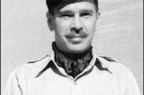
Dutch Photographer, videographer and image-artist Marcel takes you on a short walk into the Hurtgen Forest. By using the cursor you can experience what it is like being down in one of the many bunkers.
By September 1944, the Allied offensive in Western Europe had swept from the Normandy beaches all the way to the West Wall, or Siegfried Line, the formidable defensive position along the German border consisting of concrete bunkers fronted by antitank obstacles. Anxious to move quickly through the West Wall, Major General J. Lawton Collins, commander of the First Army’s VII Corps, plotted an advance south and east of Aachen through a 70-square-mile section of heavily wooded terrain known as the Hürtgen Forest.
Within the Hürtgen lay several massive dams that managed the flow of the Roer River and its tributaries. Rather than the useless real estate of the forest, the flood-controlling dams were genuine strategic assets, but the American planners initially ignored their value and drew up no plans to secure them. Their strategy was fixed upon crossing the Roer and seizing the city of Düren.
Originally intended to put pressure on German forces to keep them from reinforcing Aachen to the north, the Allied assault into the Hürtgen Forest was also dubiously intended to enable the Army to zero in on the industrial centers of the Ruhr Valley. Initial American thrusts during the first phase in late September and early October centered on the village of Schmidt, which U.S. forces attempted to access via the narrow and treacherous Kall Trail.

Terrain in the area was incredibly rough, however, and resupply and armor support severely restricted. Dotted with German minefields, snipers, and rocked by intense artillery bombardments, the forest was also a deathtrap for the advancing troops. Within the first three weeks of fighting, casualties were appalling at over 4,500 American troops killed and wounded — and for the cost, very little ground was gained.